Solar Farm
Agriculture Field
Contruction Site
Wind Farm
Mine SIte

Central Coast Visuals Professional Drone Services

Trusted aerial solutions for mapping, inspections, construction monitoring, and building surveys — based on the Central Coast NSW, operating nationwide.

About Central Coast Visuals

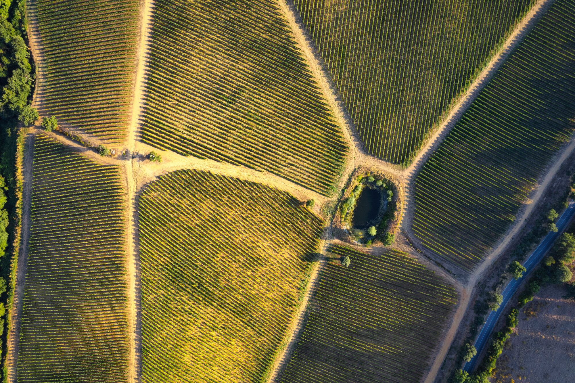
At Central Coast Visuals, we deliver industry-leading drone services that help businesses, property owners, and industries make smarter, safer, and faster decisions. Based on the Central Coast of New South Wales, our CASA-licensed drone pilots provide advanced aerial solutions across Australia, combining cutting-edge technology with years of professional experience.

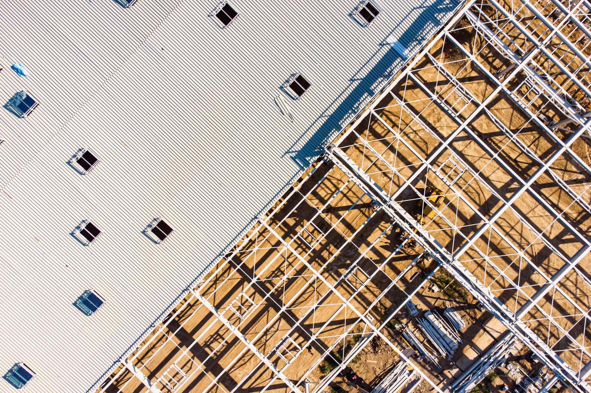
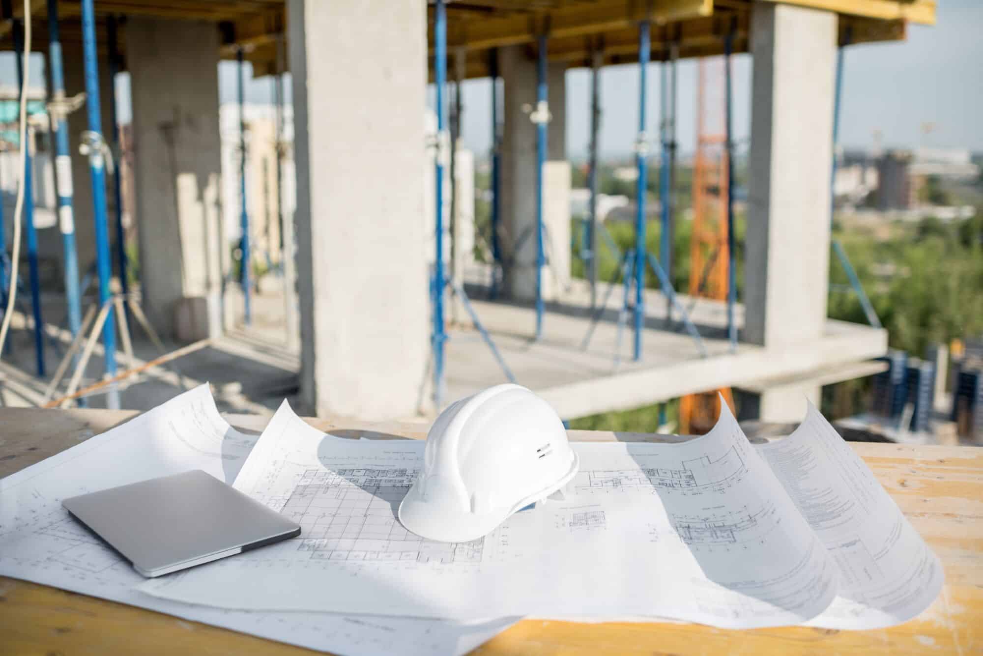
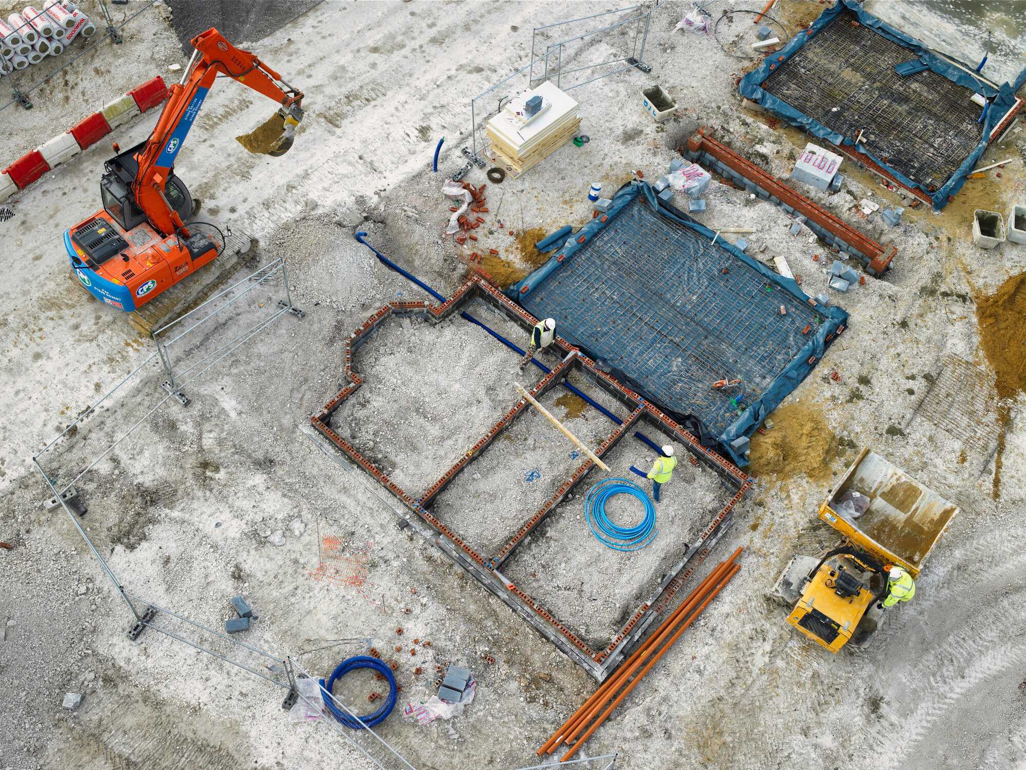
Whether you’re a construction firm seeking accurate progress updates, a utility company needing safe asset inspections, or a property manager requiring roof surveys, we bring clarity from above. Every project we undertake is backed by a strong focus on precision, safety, and results.

Construction

Our Core Services

Solar Field

Drone Asset Inspection

Cost-effective and safe inspections for utilities, infrastructure, and renewable energy assets.
Learn More
Mine Site

Drone Aerial Mapping

High-resolution 2D and 3D maps for construction, mining, and agriculture projects.
Learn More
Construction

Drone Construction Monitoring

Track progress, improve reporting accuracy, and streamline communication with stakeholders.
Learn More
Roof

Drone Roof & Building Inspections

Safer, faster, and more detailed building surveys for property, insurance, and solar industries.
Learn More
Aerial Mapping

Drone Aerial Photo & Video

Aerial photo and video for marketing and promotions.
Learn More

CASA CERTIFIED & INSURED

CASA REOC to operate Australia wide. All pilots hold REPL and AROC. Full public liabilty insurance up to $24m

NATION WIDE SERVICE

From the Central Coast to regional and capital cities, we operate Australia-wide.

SAFETY FIRST

Minimise risk with drone inspections instead of scaffolding, harnesses, or site shutdowns.

PROVEN RESULTS

rusted by businesses across construction, utilities, and real estate sectors.

Industries We Serve

Construction & Engineering

Construction & Engineering

Cost-effective and safe inspections for utilities, infrastructure, and renewable energy assets.
Learn More
Real Estate & Property

Real Estate & Property

Showcase listings with aerial footage or assess buildings for maintenance.
Learn More
Infrastructure & Utilities

Infrastructure & Utilities

Inspect powerlines, pipelines, and wind turbines without downtime.
Learn More
Agriculture & Environmental

Agriculture & Environmental

Map crops, monitor land health, and manage resources efficiently.
Learn More
Insurance & Compliance

Insurance & Compliance

Provide accurate, unbiased inspection data for claims and audits.
Learn More

Advanced UAV Technology You Can Trust

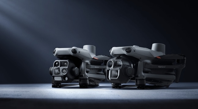
At Central Coast Visuals, we use industry-leading drone technology to deliver accurate, reliable, and safe aerial data for every project. Our fleet of drones is equipped with:

  • High-Resolution 4K Cameras – Capture crystal-clear aerial images and video for inspections, marketing, and progress reporting.
  • Thermal Imaging Sensors – Detect hidden leaks, moisture, heat loss, and electrical faults invisible to the naked eye.
  • LiDAR & Mapping Systems – Generate precise 3D models, orthomosaic maps, and digital terrain data for construction and land management.
  • RTK/PPK GPS Technology – Ensure survey-grade accuracy down to centimeters for aerial mapping and surveying projects.

Every flight is carried out by licensed and insured CASA Certified UAV pilots, following strict aviation safety and compliance standards.
By combining cutting-edge equipment with professional expertise, Central Coast Visuals delivers aerial insights that you can depend on.

DJI Matrice 4

Ready to see the bigger picture?

Whether you need drone aerial mapping, inspections, or monitoring, Central Coast Visuals has you covered.

Call us today or request a free online quote.