Solar Farm
Agriculture Field
Contruction Site
Wind Farm
Mine SIte

Central Coast Visuals Industries Serviced

From construction and infrastructure to real estate and agriculture, Central Coast Visuals delivers safe, efficient, and data-driven aerial services tailored to your industry.

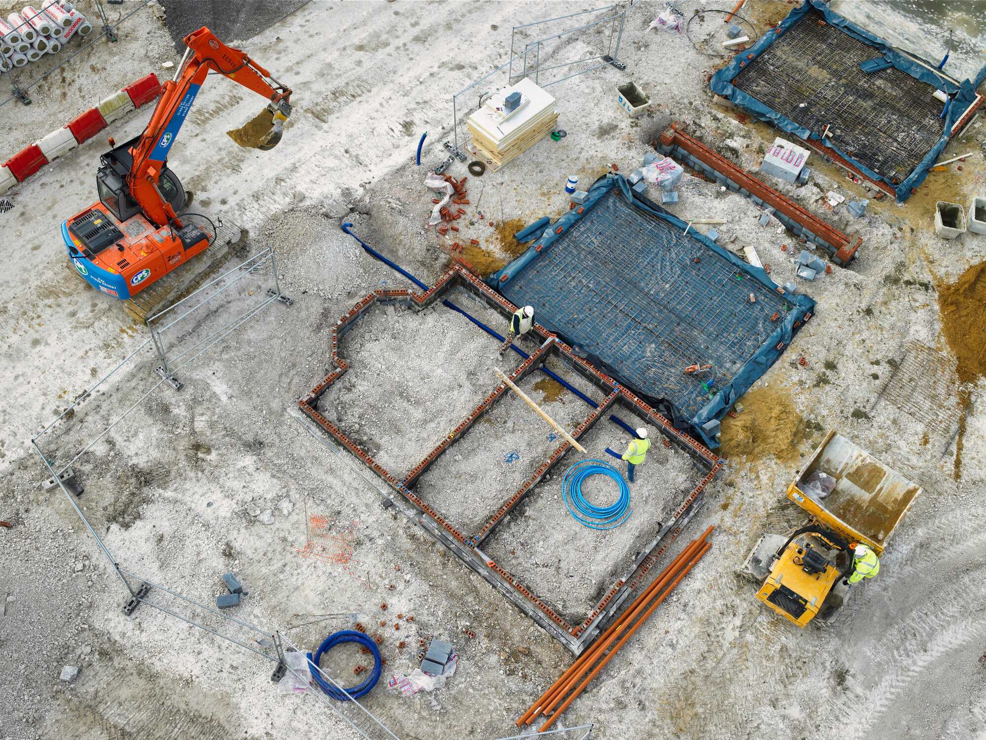
At Central Coast Visuals, we understand that every industry faces unique challenges — from monitoring large-scale construction projects to safely inspecting utilities or providing accurate insurance assessments.

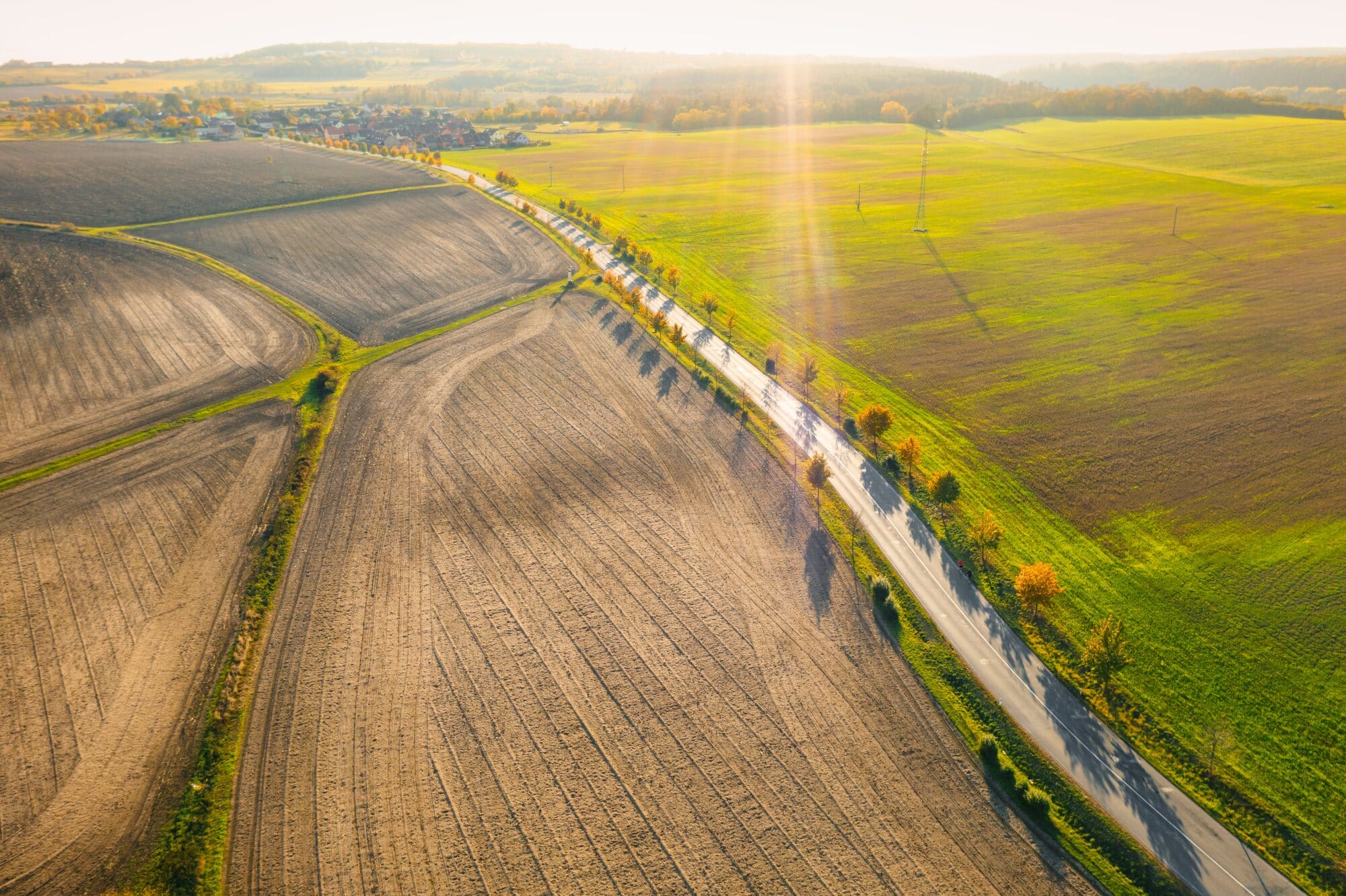
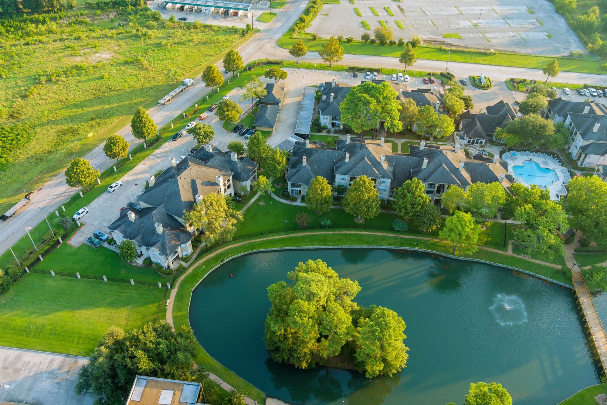
Our drone technology is adaptable, precise, and designed to deliver cost-effective results across a wide range of sectors.

Operating from the Central Coast, NSW, and servicing clients across Australia, our CASA-licensed drone pilots provide solutions that reduce risk, save time, and improve decision-making.

Industries We Serve

Construction & Engineering

Construction & Engineering

Construction projects demand accuracy, safety, and transparency. Drones deliver detailed progress tracking, 3D models, cut/fill calculations, and site safety monitoring, ensuring stakeholders always have the latest project data. Builders and engineers rely on us for insights that reduce costly rework and keep projects on track.

Real Estate & Property

Stand out in a competitive market with aerial imagery and inspections. Our drone services provide stunning property visuals for real estate listings and detailed roof and building inspections for property managers and owners. Faster, safer, and more engaging, drones help you present and maintain properties with confidence.
Real Estate & Property
Wind Turbine

Infrastructure & Utilities

Inspecting critical infrastructure is safer and more efficient with drones. From powerlines and pipelines to wind turbines and solar farms, our drones use high-resolution imaging and thermal sensors to detect issues without downtime. This reduces risks to personnel and cuts inspection costs dramatically.

Agriculture & Environmental

Large-scale land management and environmental monitoring require accurate data. Our aerial mapping services deliver orthomosaic maps, crop health analysis, irrigation insights, and environmental surveys. Farmers and environmental managers benefit from precise data that helps conserve resources and improve yields.
Agriculture & Environmental
Insurance & Compliance

Insurance & Compliance

When it comes to insurance claims or compliance reporting, accuracy and speed are everything. Our drones provide independent roof inspections, post-disaster assessments, and damage verification reports that insurers and compliance officers can trust. With detailed 4K imagery and thermal data, you get unbiased evidence delivered quickly.

Why Drones Are Transforming Industries

  • Safety First – Reduce the need for scaffolding, working at heights, or site shutdowns.

  • Time-Saving – Complete inspections, mapping, and surveys in a fraction of the time.

  • Cost-Effective – Lower labour, equipment, and downtime costs.

  • High-Quality Data – 4K–8K imagery, thermal sensors, and accurate 2D/3D mapping.

  • Scalable – From single-site inspections to nationwide rollouts.

Ready to get started?

Whatever your industry, Central Coast Visuals delivers aerial solutions designed to enhance efficiency, improve safety, and cut costs. From construction to agriculture and everything in between, our drones bring clarity from above.

Call us today or request a free online quote.